The Hunter River has peaked in the Upper Hunter but more localised flooding is possible this afternoon.
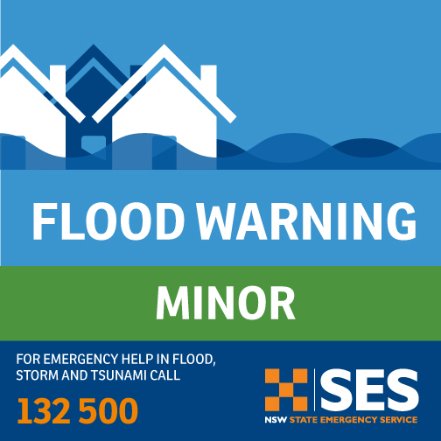
The Buraeu of Meteorology has downgraded the flood warning from moderate back to minor with minor flooding occurring at Denman this morning.
The State Emergency Service evacuated residents in the low lying areas of Denman in the early hours of this morning.
The Hunter River at Muswellbrook peaked late Monday afternoon, with moderate flooding and fell below the minor level at 10:45pm last night.
The Hunter River at Denman peaked around the moderate flood level early Tuesday morning. River levels have fallen below the moderate flood level, with minor flooding continuing. It peaked at 7.96 metres around 02:00 am and was last checked at 7.82 metres.
Across the Upper Hunter low lying rural properties and roads may be affected.
The latest from the SES:
At Scone and surrounding areas:
- Possible isolation of Satur due to road closures
- Main Merriwa to Scone road may close
- Inundation of low-lying properties at Satur including Liverpool, Aubins, Wingen, Kingdon, Mount, Susan, Aberdeen, Middlebrook, Hill and Parker Streets
- Turanville Road may close
At Aberdeen and surrounding areas:
- Localised flooding may inundate properties in the Blairmore Lane area
- Rouchel road may close affecting access to Glenbawn Dam and outlying rural properties
At Muswellbrook and surrounding areas:
- Possible closure of New England Highway at rail overpass at Maitland Bridge Street
- Possible isolation of properties along Wybong and Kayuga roads
- Muswellbrook to Sandy Hollow road may close
At Denman and surrounding areas:
- Possible inundation of low lying rural areas
- Road (Golden Highway) between Muswellbrook and Sandy Creek may close
- Babbington Street may experience localised flooding
- Local flooding around Ogilvie, Palace, Jerdan Streets may occur
What you need to do:
Residents in the low lying sections of Aberdeen including McAdam, McQueen, Segenhoe, Dart, Hall, Gunderbri, Nandowra and Willow Grove Village section of New England Highway should continue to monitor the situation
• Do not drive, ride or walk through flood water
• Farmers on low lying land close to rivers and creeks are urged to monitor livestock, pumps and other equipment. Waste and chemical containers should be located well above predicted flood levels.
• Residents of low lying areas near the river should keep an active watch on the flood waters.
• Keep in contact with your neighbours.
• Consider impacts of possible road closures on work, family and educational commitments
• Monitoring emergency warnings and severe weather updates on local ABC radio, NSW SES Hunter Facebook Page and Bureau of Meteorology website
• If you live in a low-lying area and are advised by an emergency services officer to evacuate, please do so
For emergency help in floods and storms, call the NSW State Emergency Service on 132 500. In life threatening situations call triple zero (000) immediately