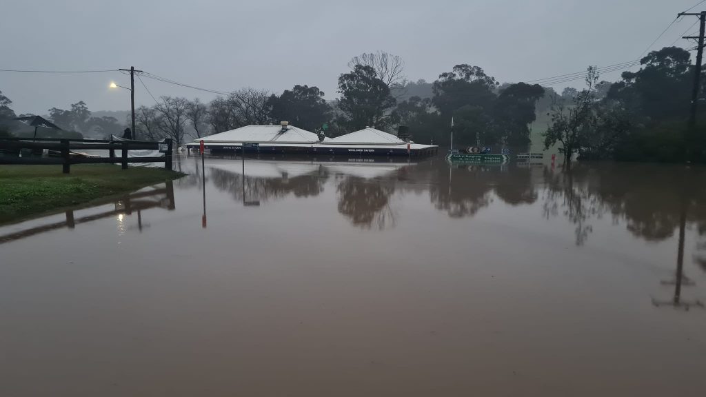
The extent of the July flooding at Wollombi | Bhret Mcintyre
The State Emergency Service has put parts of the Hunter on a flood watch as New South Wales braces for a drenching.
A low-pressure system is forecast to bring widespread moderate rainfall during Wednesday and Thursday. Rain is expected to initially develop in the west but is likely to spread through most of the state on Wednesday into Thursday as the low makes its way to the east during the later part of the week.
While the highest falls and risk of inundation is likely inland, particularly in the Central West and North West Slopes and Plains, flooding is also possible in several coastal river catchments in the Hunter.
According to the SES, there is a 75% chance of minor to moderate flooding developing along the Wollombi Brook and Lower Hunter River from Thursday.
The region has only just started to recover from the July flood event which saw several local waterways peak well above historic levels and left townships including Gillieston Heights isolated for weeks.